LIDAR
Professional LiDAR Solutions tailored to industry professionals and end-consumers.
Inspect, measure, visualize and monitor with superior accuracy. LIDAR technology provides incredibly high-precision measurements on complex and difficult terrains. Safely and efficiently obtain critical and valuable data through our team of professional and experienced pilots.
From raw data to customized reporting, our team of highly-trained data processors can deliver data in various formats based on project requirements. Our data can be imported directly into GIS, engineering, construction, and architectural software solutions among others.

Our Services
Your team of local, professional pilots and data analysts.

One-time, monthly, quarterly and annual plans
Our team of FAA certified pilots utilizes industry-leading UAVs with high-end cameras and sensors specific to project requirements.
For pricing and more information
DATA ACQUISITION

DATA PROCESSING
Project-specific, from simple to complex analysis
Our back-end team of data analysts processes and analyzes data utilizing algorithms, and varying software depending on project deliverables, requirements, and complexities.
For pricing and more information
DATA REPORTING
Custom reporting based on client requirements
Our team prepares and delivers custom reports depending on client requirements. These reports can include edited images and videos, PDFs, CAD Files, DSM, DTM, Contours, Point Cloud, and others.
For pricing and more information

Surveying
Obtain high-precision data quicker and safer. Map out and create 3D images to evaluate landscape conditions, assess vegetation and accurately measure terrain and existing assets.

Stockpile Inventory Management
Increase on-site safety and productivity. Efficiently harness drone technology to measure stockpiles and track volumes more accurately. Obtain reports in a simple, easy to read format.
Inspections
Accurately and cost-effectively assess on-site assets. Evaluate current conditions, track on-going projects, and determine maintenance requirements. Quickly and easily.

Solutions


Our expert pilots
are professionally
trained and licensed
ABOUT US
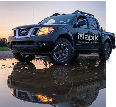
Mapik
We are a Miami-based professional drone services company. We focus on commercial and industrial projects within the real estate, construction, agricultural, utilities, and energy sectors.
Our team works with project managers and stakeholders, providing access to important data that is used to make better and more informed decisions.
Our clients have used our services to monitor the progression of site development and construction, inspect jobs, understand land topography and elevations, monitor crop growth, and survey fields. We are able to provide a one-time field inspection or recurring field inspections.


Inspect and
Measure with
High-Precision,
Quicker and
Safer.